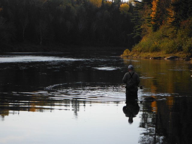
The current route for TransCanada’s Energy East Pipeline will cross waterways in New Brunswick 281 times. While all of these waterways are ecologically important to the larger watersheds and valued by many people, some of these crossings are at our most notable waterways, including the Madawaska, Tobique, Canaan, Kennebecasis – all major tributaries of the St. John River – and the Cains and Southwest Branch of the Miramichi, just to name a few.
The sheer volume of water crossings increase the size of the risk and have the potential to impact waters of multiple uses, from drinking sources to recreational fishing rivers to sensitive lake and wetlands habitats. What’s more, many rivers, streams and brooks in the province will be crossed by the pipeline multiple times.
A spill at any of these water crossings would have a serious impact on water quality, wildlife and fish habitat, and the economic and cultural values provided to New Brunswickers and First Nations communities who use these waters.
Have a look at this interactive map showing exactly where the pipeline will intersect our freshwater system. We’ve also compiled a full list of waterways the pipeline route will cross.
Note: The water crossings of the Energy East pipeline are identified here as proposed by TransCanada Corp.in their filing to the National Energy Board on October 30, 2014. Information may have changed or is subject to future changes by TransCanada.
Risk to drinking water
Drinking water in New Brunswick generally comes from two different systems: municipal surface waters such as lakes and groundwater-fed well water that is then distributed by a centralized network to our taps or from private homeowner groundwater wells. The pipeline water crossings and route through the watersheds of the province present risks to both sources of drinking water.
There is also concern that the construction of the pipeline, in addition to the risk of a rupture and spill, could impact private water wells along the route, which are the primary sources of drinking water for New Brunswickers in rural areas outside of a municipal system. TransCanada indicates that the pipeline will be buried approximately 3-feet below ground in uncultivated and consolidated rock, however, New Brunswick’s low elevation and low depth to water table presents concerns that a rupture or dilbit leakage could penetrate into groundwater aquifers providing recharge to water wells.
A rupture of the Pembina pipeline in British Columbia in 2000 contaminated the Pine River, forcing residents around the District of Chetwynd with nearby private well systems recharged from the connected aquifer to discontinue their use. Furthermore, small leaks can go undetected for long periods of time, accumulating groundwater contamination to significant levels.
Groundwater that supplies the majority of New Brunswickers with drinking water is also a cause for concern. A rupture and spill could infiltrate underground aquifers connected to private well water systems. This is especially concerning given that even with modern safety standards, a leakage rate of 1.5% of the total volume can go undetected by TransCanada’s monitoring system.
Concerns about a spill into our freshwater system are heightened by the fact that the product being transported — bitumen — is especially problematic. The science is slim but is unveiling that bitumen itself causes increased pipeline corrosion — likened to sandblasting the pipe’s insides — and that a spill is especially messy — it separates and sinks — making it hard to clean up and lingering in the aquatic environment for years. Bitumen spills are also more costly to clean up than conventional oil or crude.
Risk to wildlife
The lower St. John River and its tributaries are the spawning grounds for the outer Bay of Fundy Atlantic salmon population, which was listed as Endangered by the Government of Canada in 2010. Millions of dollars are spent each year on Atlantic salmon conservation efforts, such as habitat restoration and public education in hopes of reviving the population. The river is also home to 52 others species of fish, including Brook trout, long and short-nosed sturgeon and American eel (the latter two are also listed as ‘Special Concern’ and ‘Threatened,’ respectively, by the Government of Canada).
More attention must be paid to how this project would effect the recovery of Threatened and Endangered species of the St. John and Miramichi watersheds, especially the Atlantic salmon, given that the pipeline route is proposed to cut through many of the headwater tributaries which provide the most sensitive spawning habitat. Furthermore, the construction of the pipeline route will impact these sensitive habitats though sedimentation, temperature increase and water quality.
